|
|
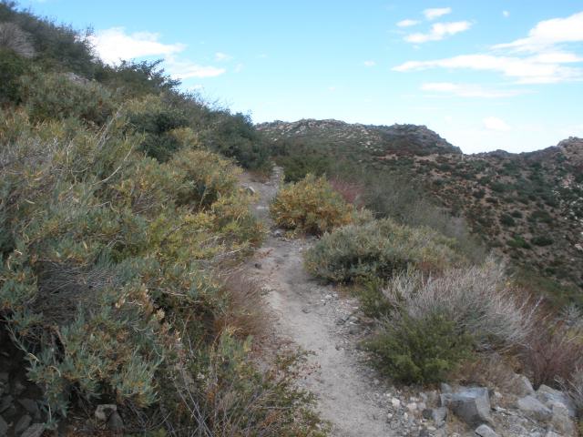
Features: Panoramic views, mountain to desert transition. Length: 10.4 miles one way from La Posta/Thing Road to Kwaaymii Point. Elevation gain/loss: +100'. Hiking time: 5 hours. Users: Hikers and equestrians only. No mountain bikes, motorized equipment. Difficulty: Moderate. Best time of year: Year-round. Potable water: At Burnt Rancheria Campground, Laguna Lodge, Visitor Center, Desert View picnic area, Laguna Campground. Access points: At La Posta/Thing Rd. 0.5 miles south of Sunrise Highway, south end of Burnt Rancheria Campground, Desert View picnic area 0.2 miles north of Visitor Center, Penny Pines trailhead (Mile Marker 27.3 on Sunrise Highway), Garnet Peak trailhead (27.8 Mile Marker), Pioneer Mail trailhead (29.3 Mile Marker), Kwaaymii Point (30.3 Mile Marker). Description: This section of the PCT within the Recreation Area offers expansive vistas to the desert east, 4,000 feet below your elevation. This eastern edge of the Laguna escarpment is the ransition area between the montane and arid desert climates. The trail winds intermittently between mountain mahogany and manzanita bushes and Jeffrey, Coulter and Pinon Pines, which grow disproportionally on one side due to the prevailing jet stream-strength winds that can whip through the area. The village of Mt. Laguna is very near the southern beginning of this section. Mt. Laguna has a post office, store, restaurants, cabins for rent, water and restrooms. Adventure Passes can be purchased in the Visitor Center on Sunrise Highway at the intersection of Los Huecos Road. |
|
|